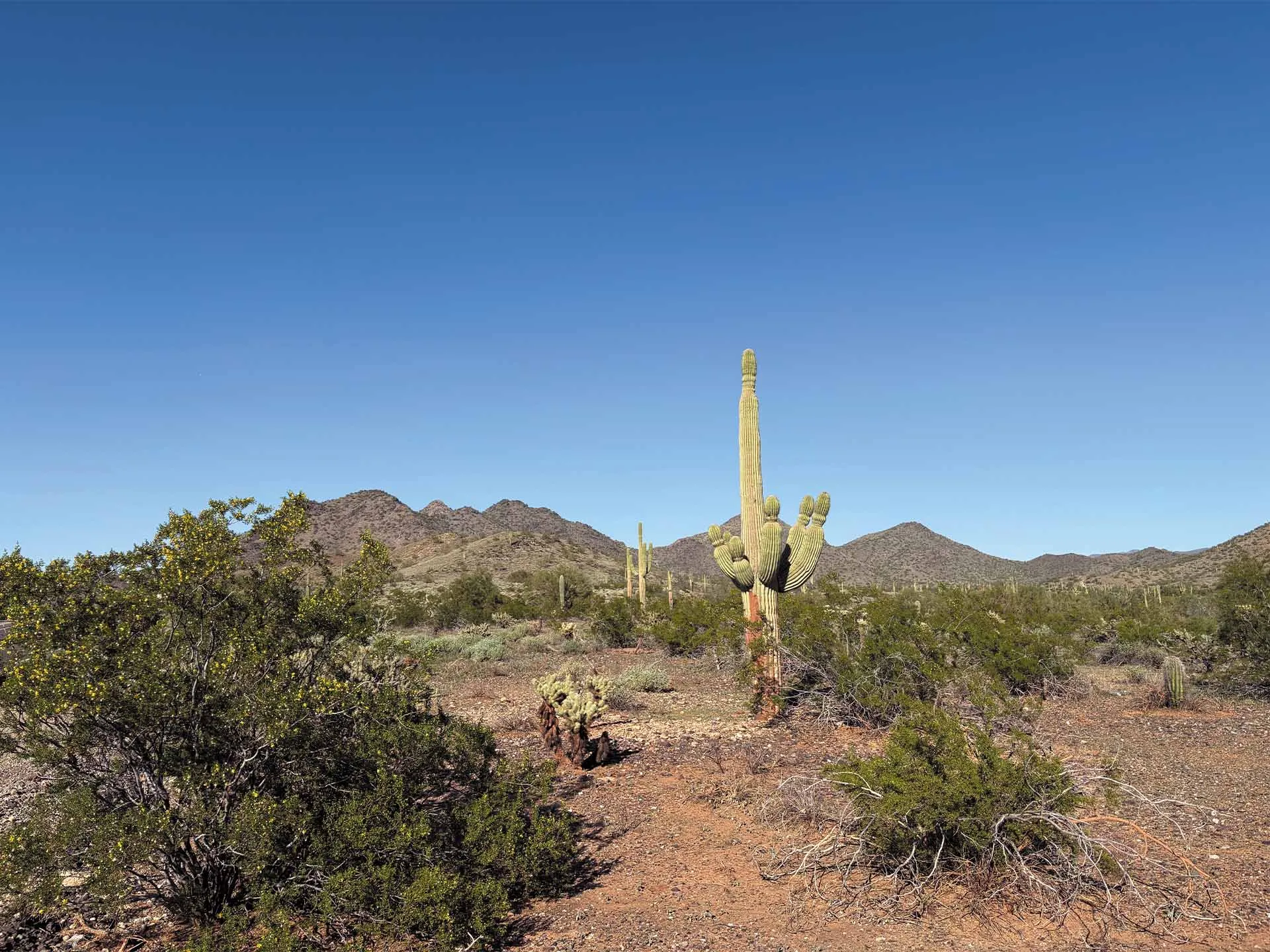
APACHE WASH
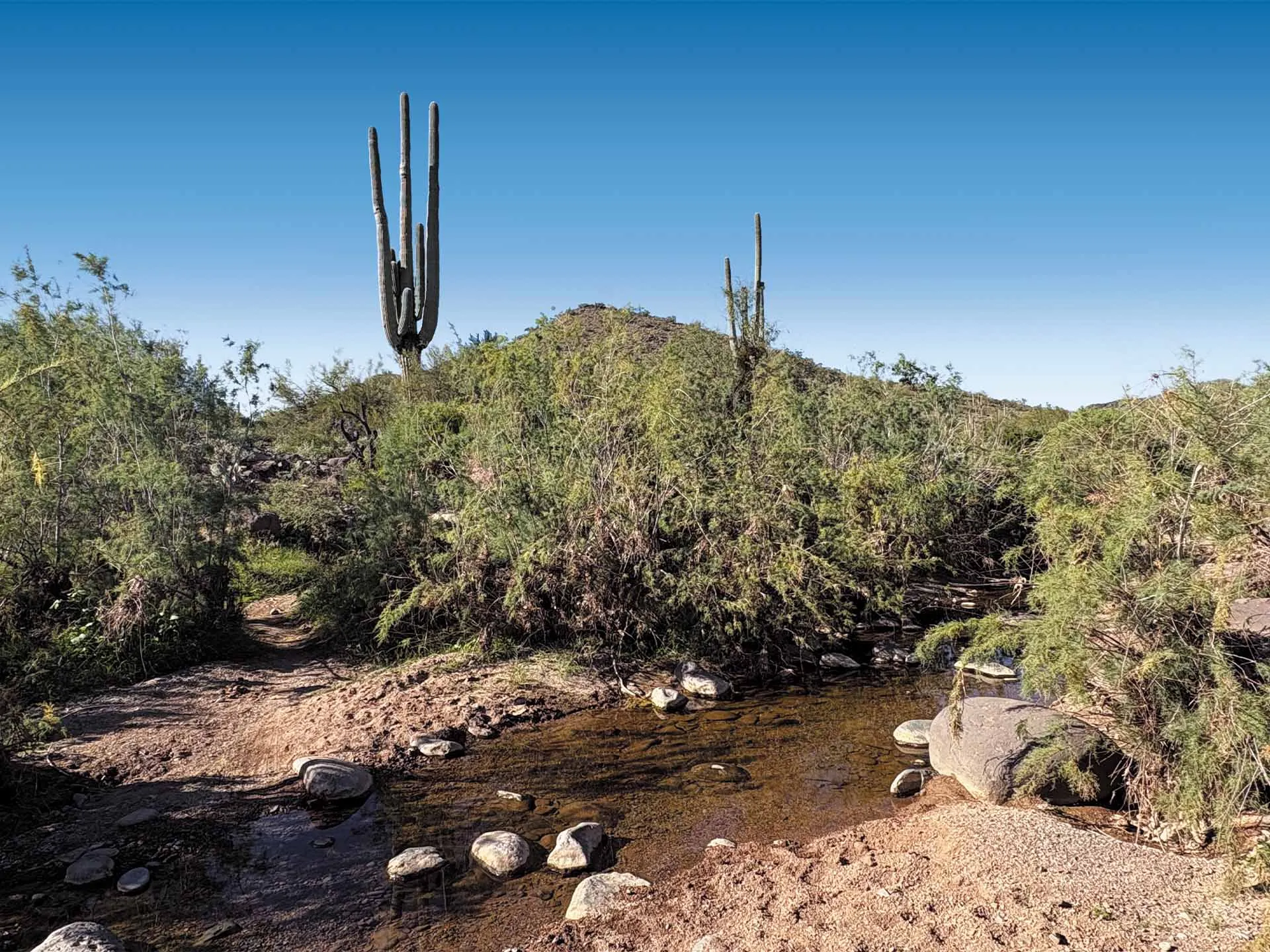
CORE SITE
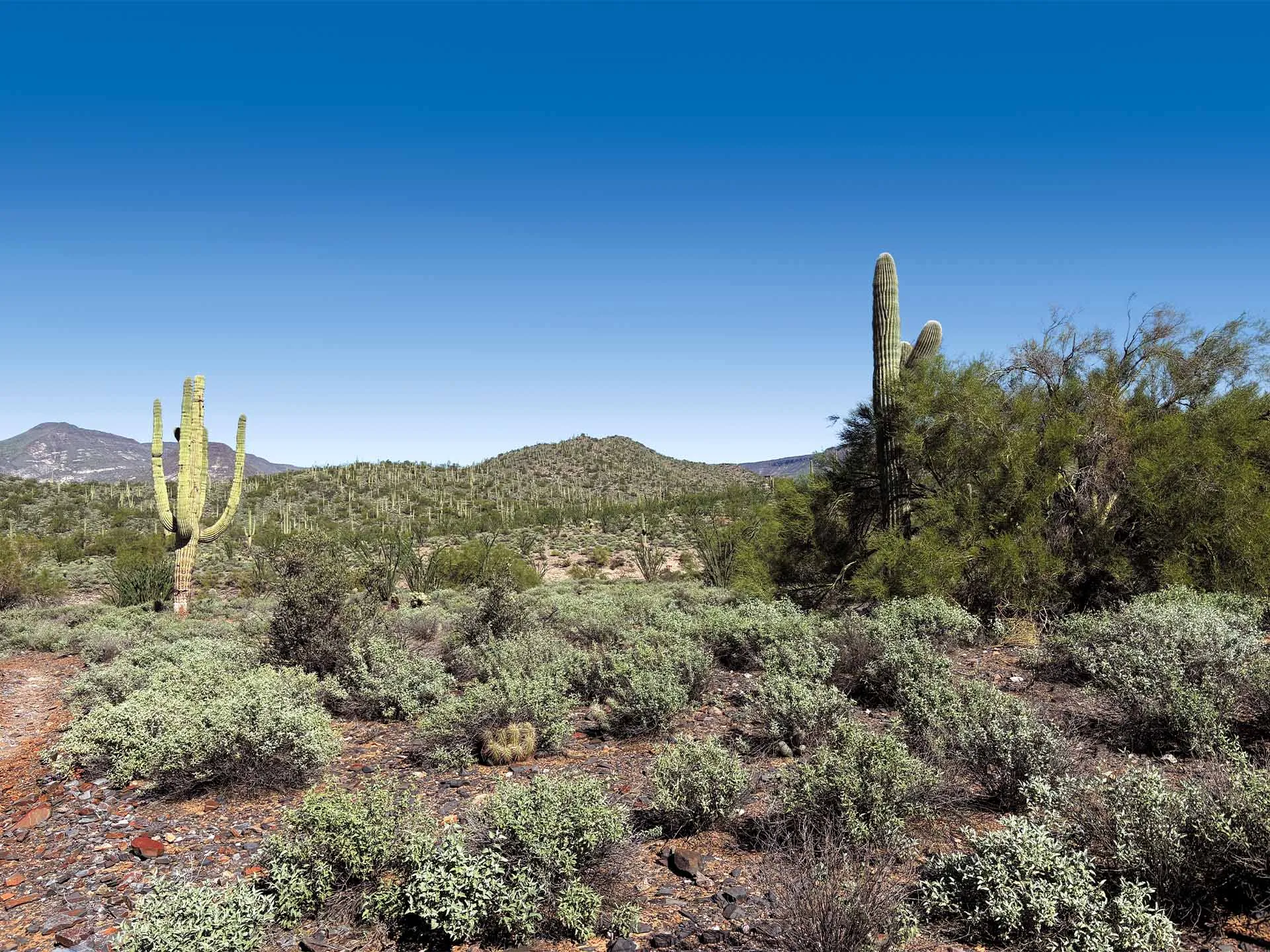
WILLOW SPRINGS
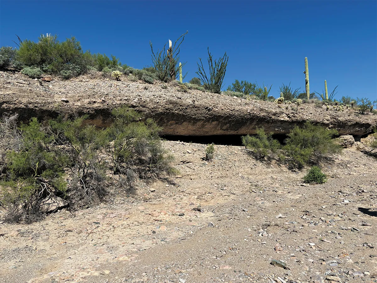
WILLOW SPRINGS
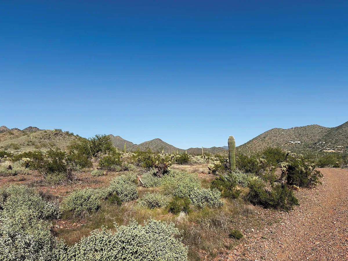
APACHE WASH
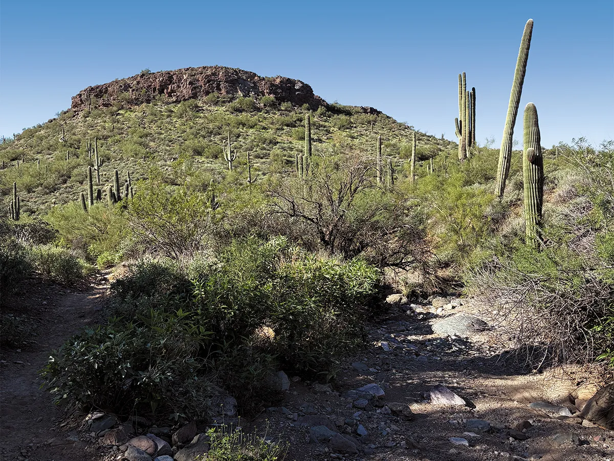
WILLOW SPRINGS
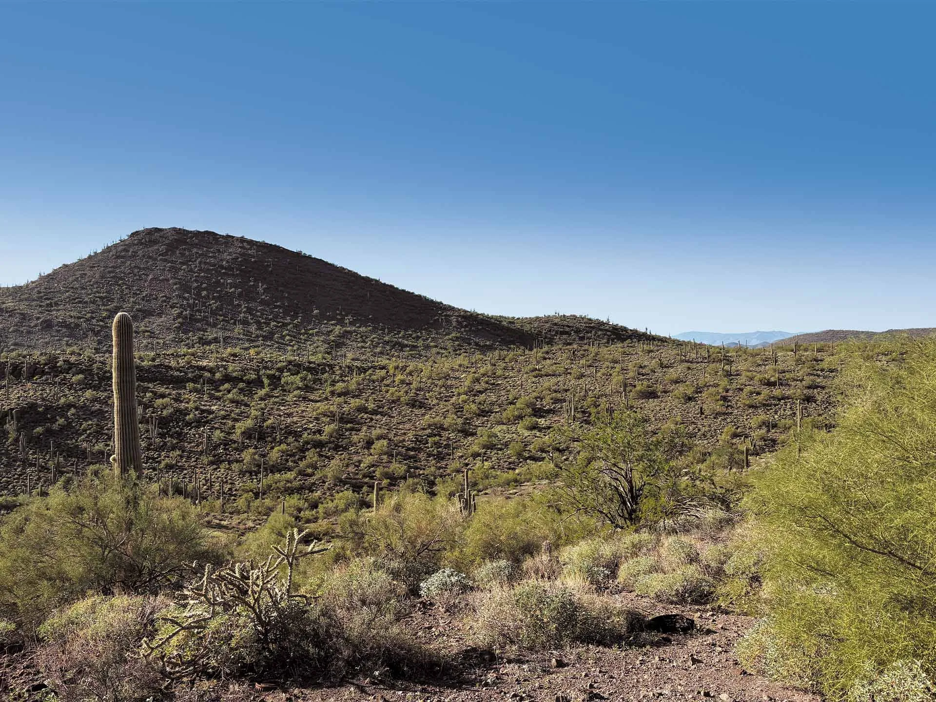
ROGER'S WASH
The 4,005 Acres
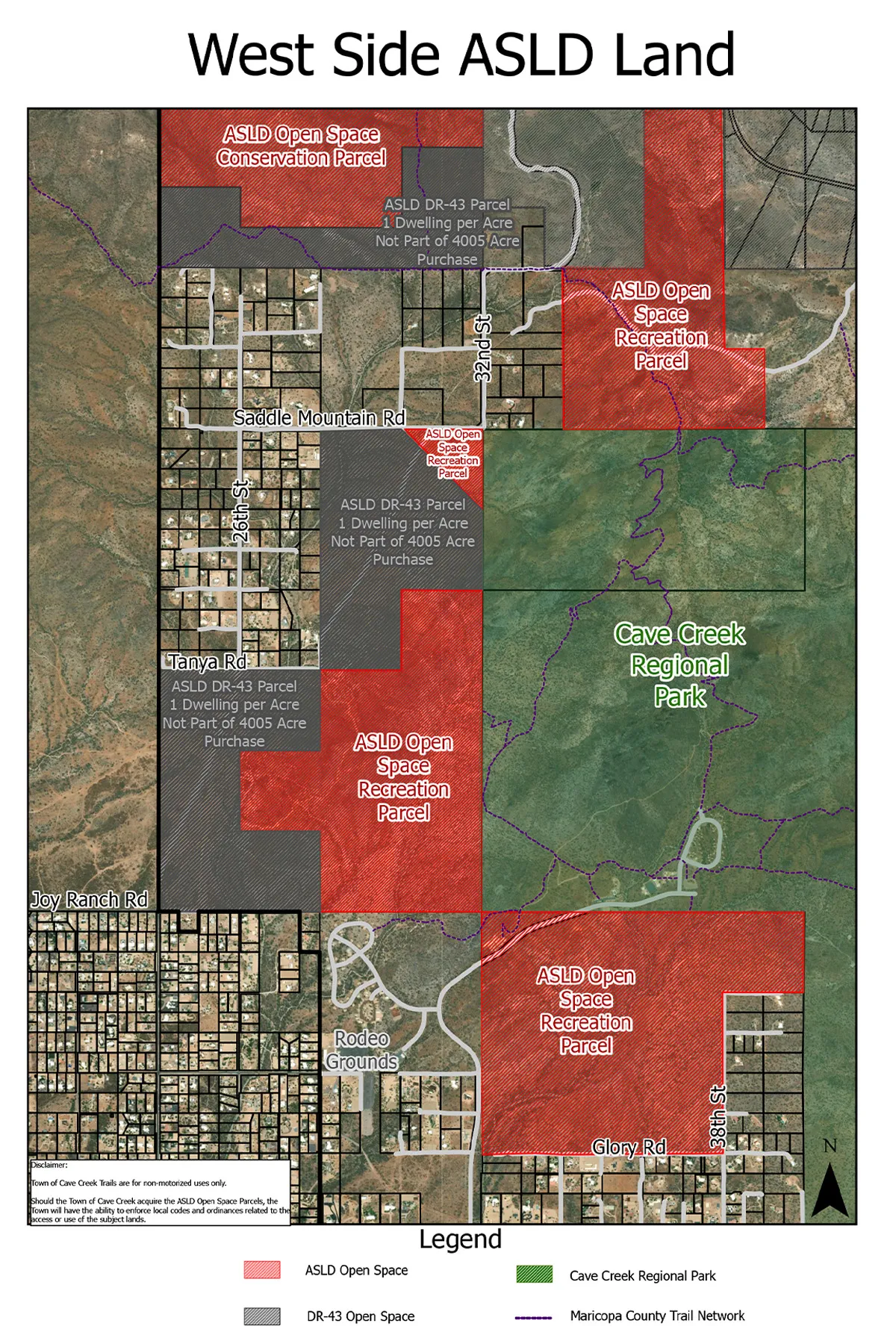
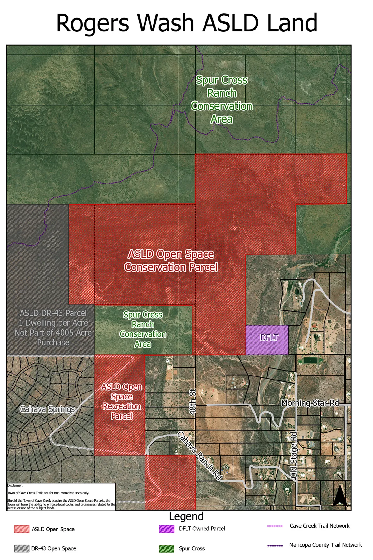
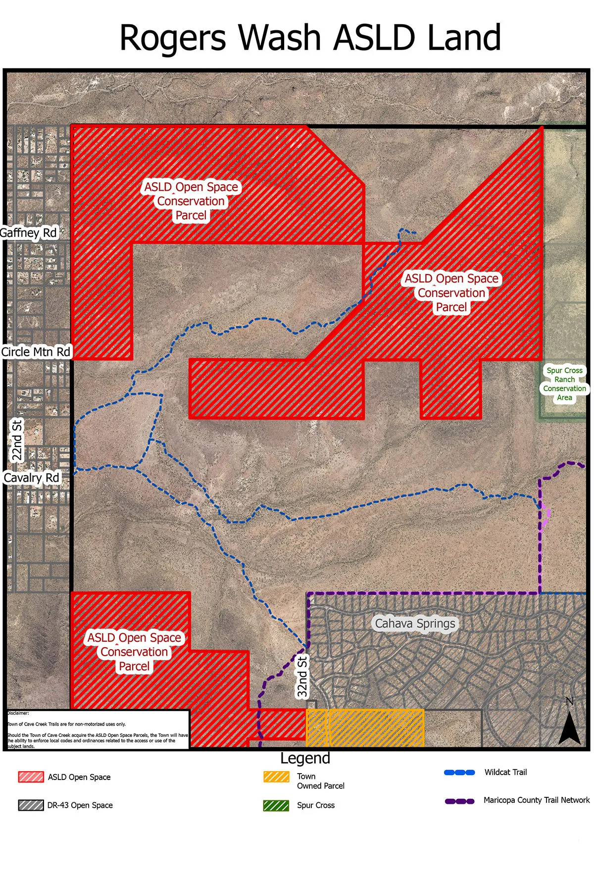
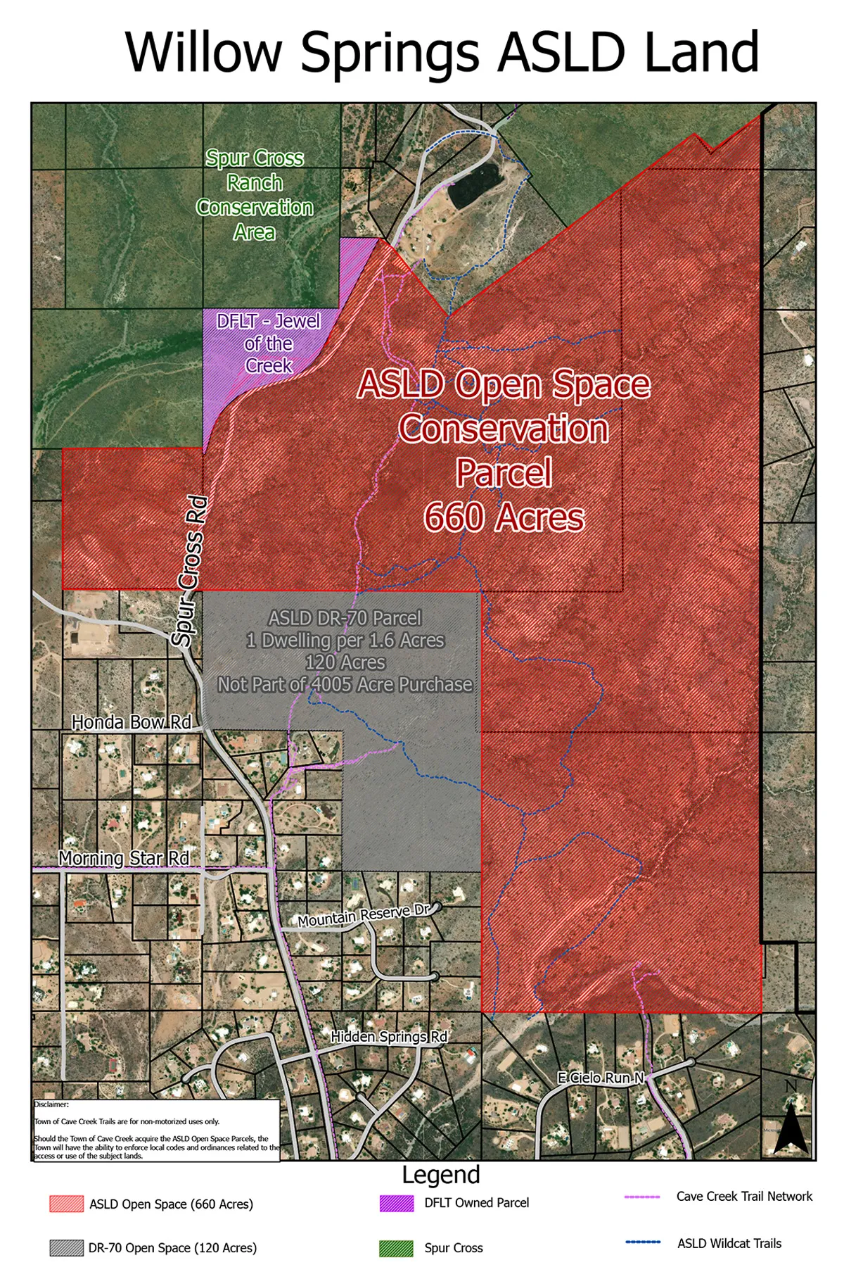
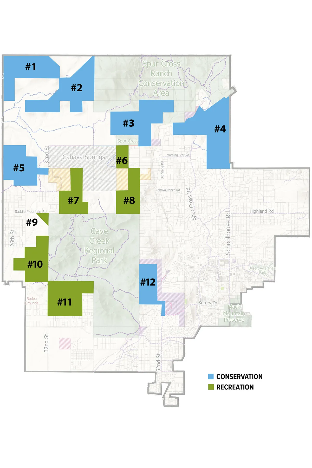
The 4,005 acreage is not located in one location. There are 4 main areas consisting of 12 parcels totaling over 6.25 square miles. Arizona State Land Department has already zoned the 4,005 acres as Open Space Conservation (OSC) and Open Space Recreation (OSR).
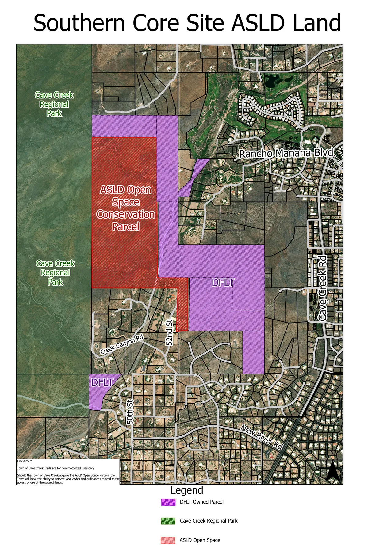
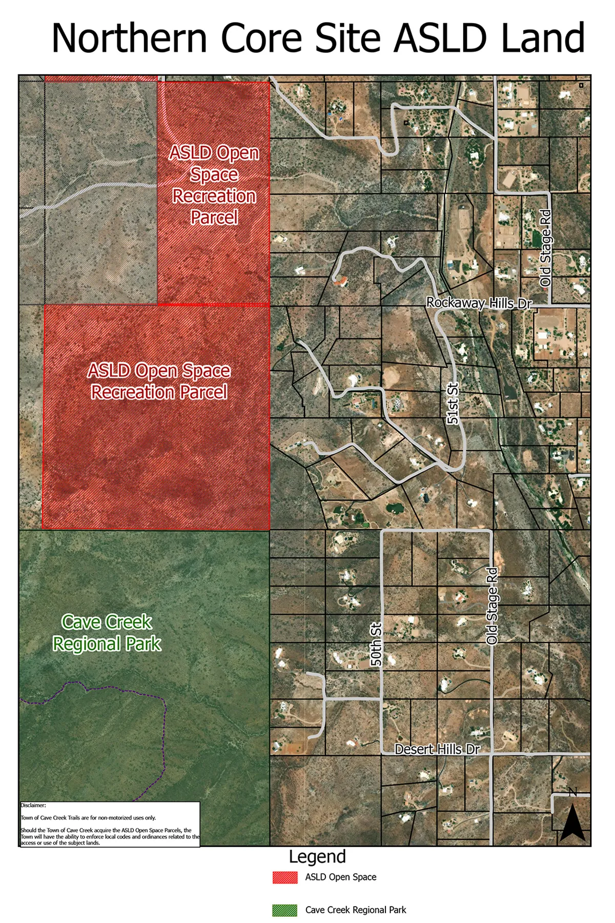
View Parcel Maps | View Drone Videos
OSC and OSR: What the Zoning Means
Open Space Conservation (OSC)
Open Space Conservation is to conserve significant natural features, such as major peaks and ridges, mountains, major rock outcrops, view corridors, major washes, and significant stands of native vegetation.
Allowed usage includes:
- Access driveways and parking areas for permitted uses in the zone
- Natural wildlife reserves and sanctuaries
- Pathway systems for use by equestrians, hikers and bicyclists
- Trailheads and wildlife viewing areas
Open Space Recreational (OSR)
Open Space Recreational is to provide for land uses in areas generally subject to periodic flooding and to provide for land uses in areas that have been set aside to serve recreational functions or to provide open space areas.
Allowed usage includes all of the above, as well as:
- Water sources
- Town utility service facilities
For further information regarding uses that require a Site Plan or Special Use approval, see Cave Creek’s Zoning Ordinance, Chapter 4.
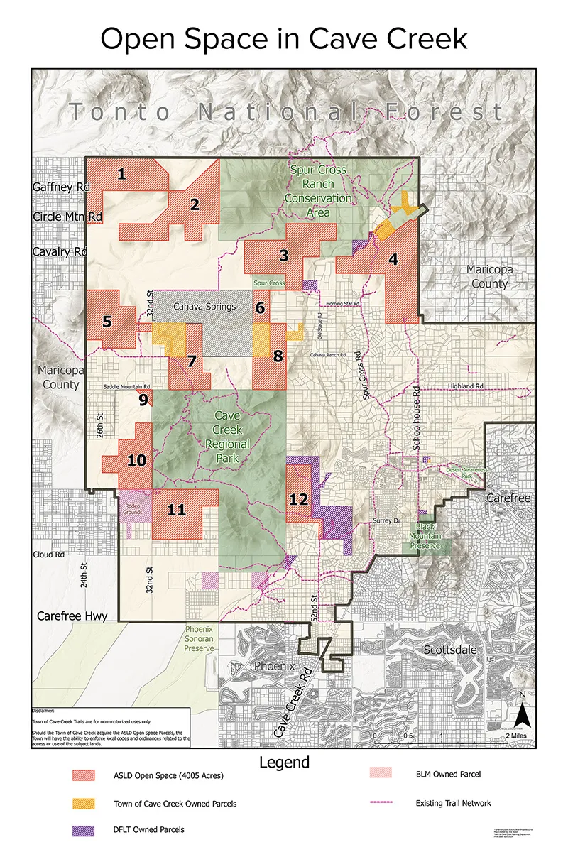
Detailed Parcel Maps Adjacent to Neighborhoods
Satellite maps show neighborhood proximity, nearby zoning, parks, and existing trail networks.